US 19 Widening from Jump Court to Fort Island Trail 405822-3-52-01
Project Details
| Work Type | Widening |
|---|---|
| Phase | Construction |
| Limits | From Jump Court to Fort Island Trail |
| Project Start | November 2018 |
| Length | 4.7 miles |
| City | |
| County | |
| Road | |
| Construction Cost | $53.7 million |
| Estimated Completion | Fall 2025 |
About
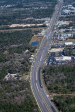
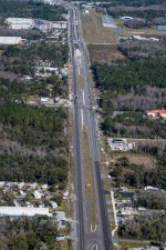
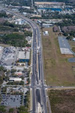
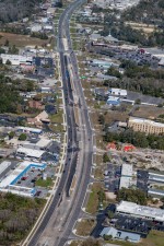
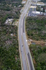
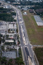
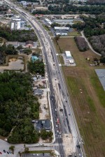
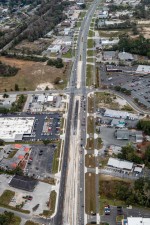
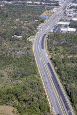
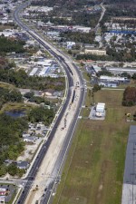
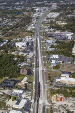
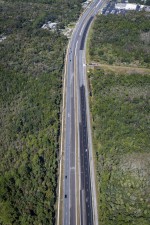
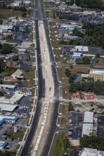
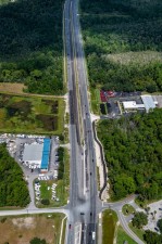
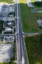
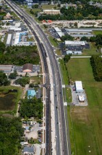
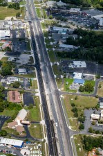
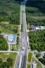
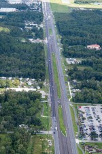
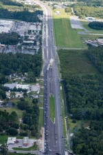
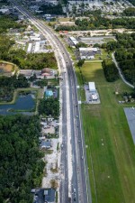
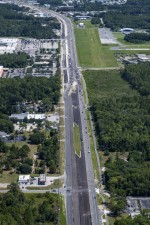
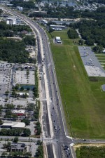
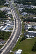
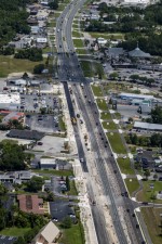
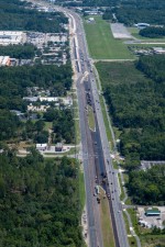
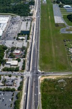
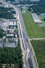
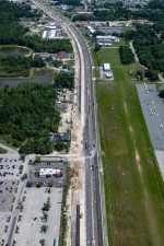
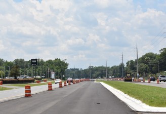
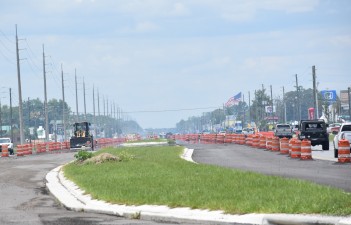
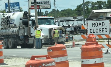
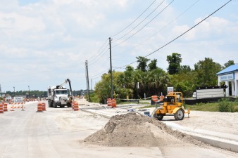
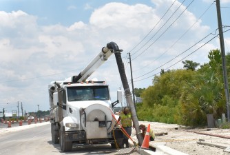
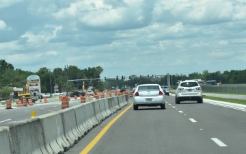
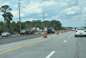
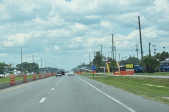
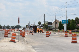
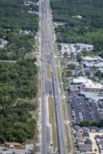
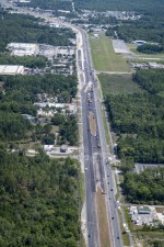
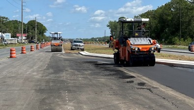
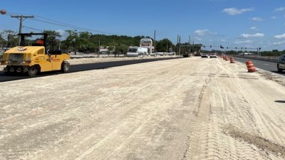
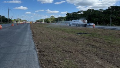
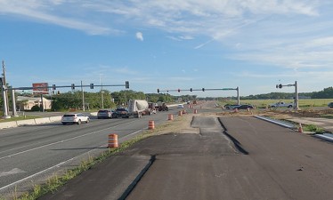
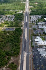
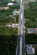
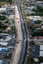
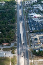
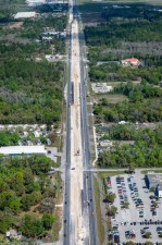
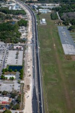
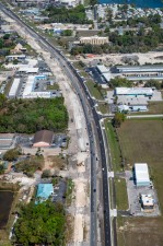
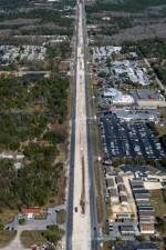
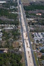
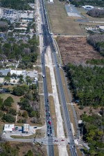
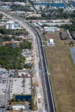
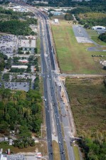
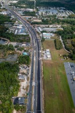
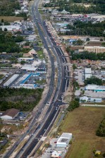
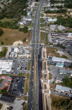
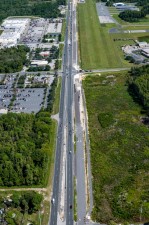
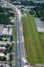
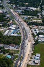
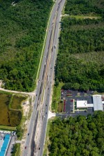
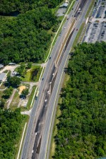
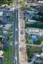
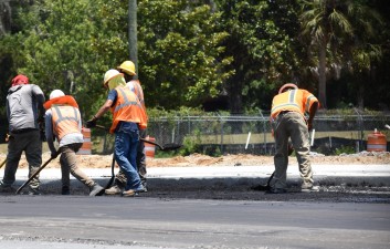
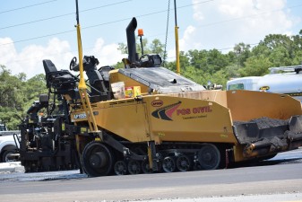
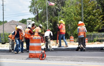
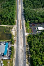
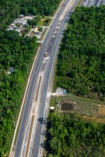
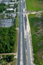
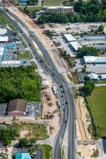
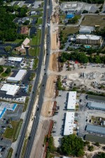
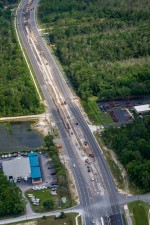
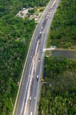
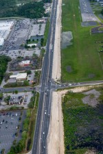
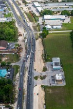
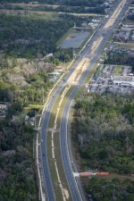
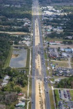
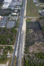
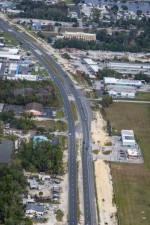
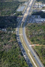
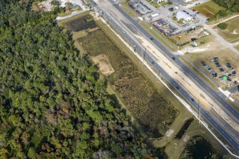
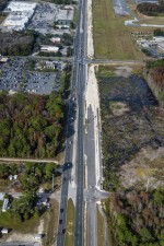
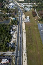
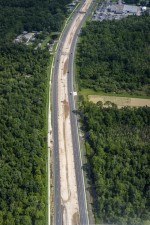
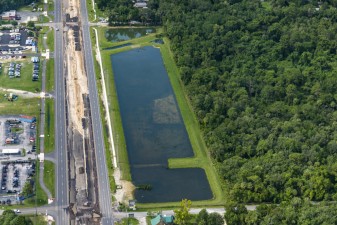
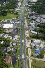
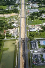
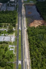
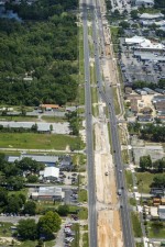
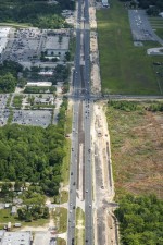
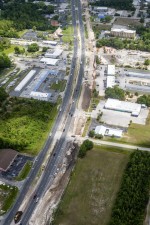
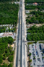
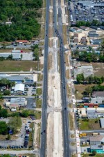
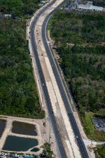
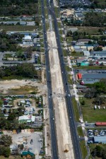
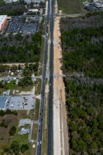
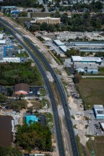
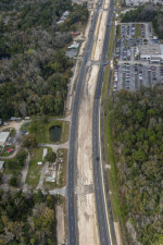
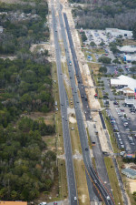
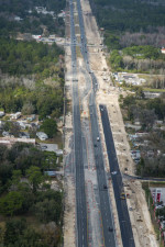
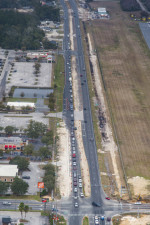
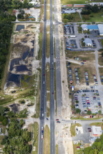
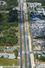
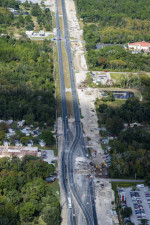
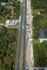
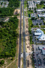
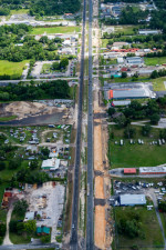
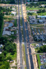
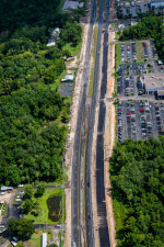
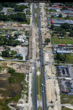
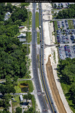
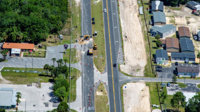
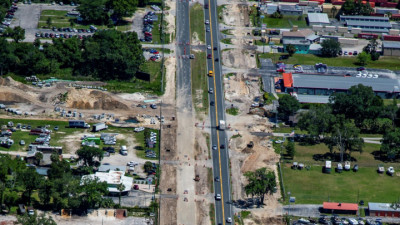
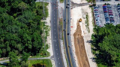
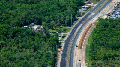
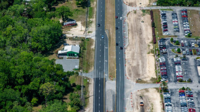
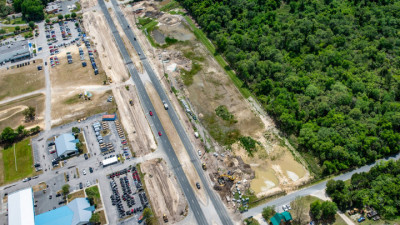
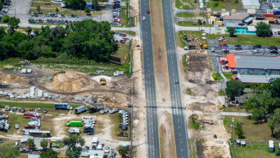
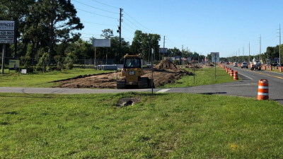
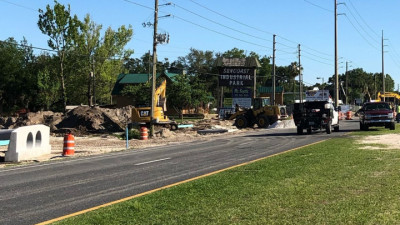
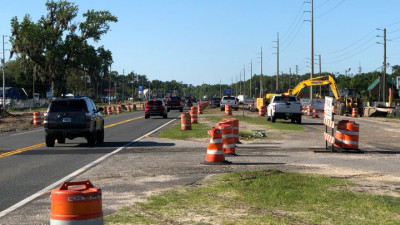
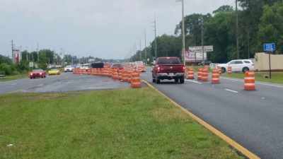
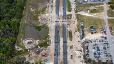
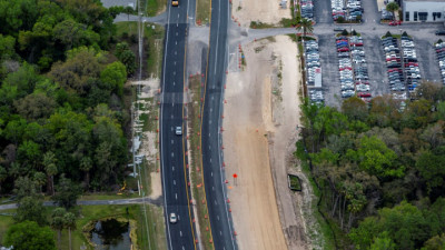
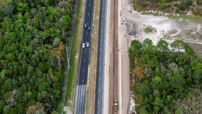
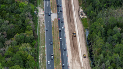
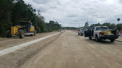
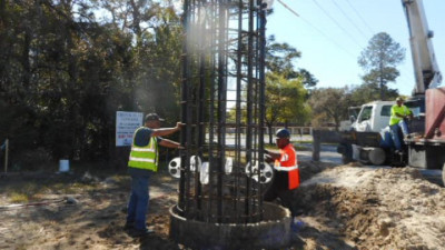
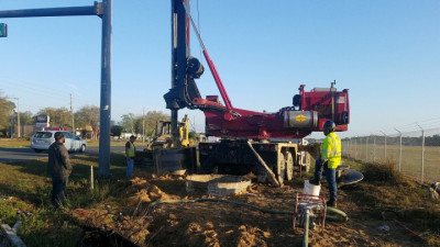
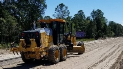
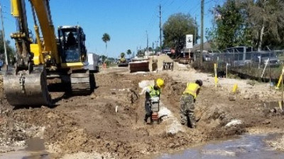
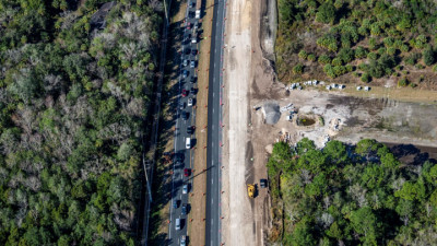
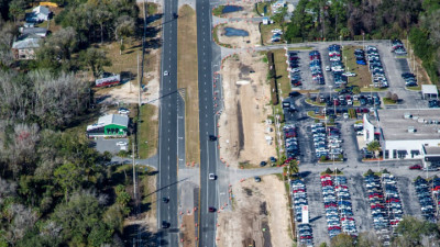
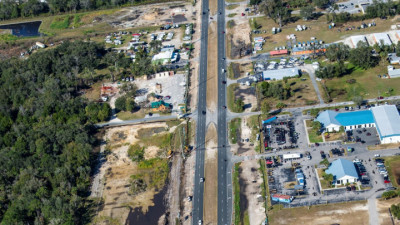
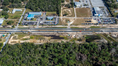
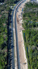
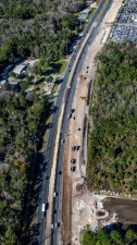
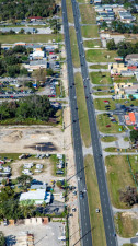
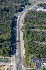
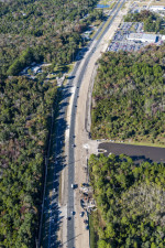
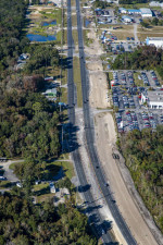
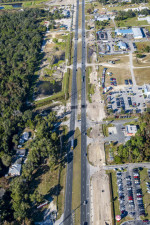
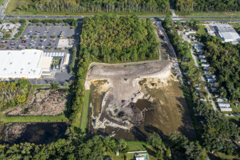
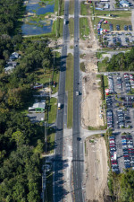
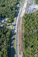
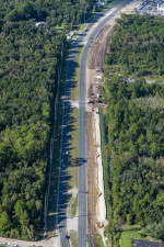
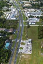
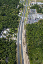
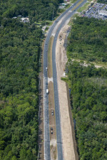
This project is widening US 19 from four lanes to six lanes between S. Jump Court and W. Fort Island Trail in Citrus County. While all roadwork has been completed as of May 19, 2025, various work activities are still taking place. There will be periodic lane closures and motorists should continue to be alert to workers and equipment throughout the project area.
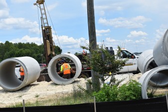
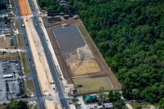
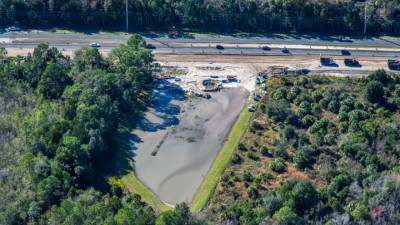
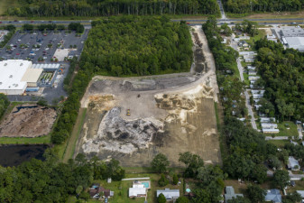
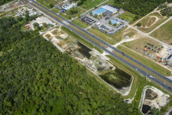
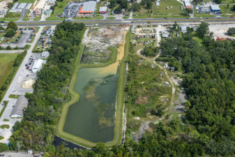
A shared use path, sidewalks, and storm water ponds have also been constructed with this project.
__________________________________
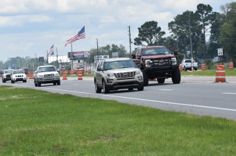
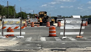
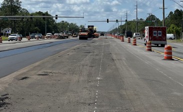
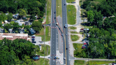
Progress Update > All lanes are open!
March 20, 2025 -- As of May 19, 2025, asphalt paving was completed on southbound US 19 from south of W Ozello Trail to S Jump Court. All lanes are now open to traffic in both directions of US 19 in the project limits.
All northbound US 19 lanes were open to traffic as of September 20, 2024.
_________________________________________
* Construction cost includes original construction contract amount plus approved contract changes. It does not include inspection oversite.
Contact Information
| Project Information |
|---|
|
John McShaffrey
813-975-6930
john.mcshaffrey@dot.state.fl.us
|
| Media Contact |
|
Kris Carson
813-975-6060
kristen.carson@dot.state.fl.us
|
Closures
-
US 19 from S. Jump Court to W. Fort Island Trail
Periodic night lane closures: Sunday, September 14 through Thursday, September 18 nights from 9 p.m. to 5 a.m.
Periodic day lane closures: Monday, September 15 through Friday, September 19 from 8 a.m. to 4 p.m.