EMERGENCY INFORMATION FDOT Emergency Travel Alert: For information on the current situation, please visit the following page - Alerts.

ACTIVE STATE OF EMERGENCY

As Florida continues to recover from Hurricane Helene, the Florida Department of Transportation (FDOT) is also actively monitoring Hurricane Milton.

Interstate lane closures and operations on active construction projects within the projected path of the storm have been suspended.

Contractors on these construction projects are currently securing work sites, clearing traffic control devices
that are not actively being used to direct traffic, and checking drainage systems.

Visit FloridaDisaster.org for the latest storm information and safety alerts.

For real-time traffic information throughout the state, visit FL511.com.

Project Details
Work Type Repaving
Phase Completed
Limits from the Hernando County line to the Marion County line
Length 29 miles
City
County
About

The project was accepted from the contractor as completed on June 17, 2021.

This design build project repaved portions of the Withlacoochee Trail in Citrus County.  There were sections of the 29 miles of the trail in Citrus County that were rebuilt due to the condition of the existing pavement. Mid-block crossing enhancements were also completed at CR 48 (Orange Avenue) in Floral City. 

Design began in October 2020 and construction began in January 2021.
____________________________________________________

Improvements at each segment or road crossing:

Segment 1: approximately located west of Old Floral City Road, north of E. Keating Park Street, and south of E. Moonrise Lane WORK COMPLETED AND REOPENED (closed 4//5/2021; reopened 5/20/2021).

  • Approximately 250 feet of trail was rehabilitated
  • This section also included removal and replacement improvements to an existing drainage structure
  • Trail elevation was raised 3 inches to help alleviate standing water issues

Segment 2 (first segment to be closed): begins where the trail crosses E. David Street. and extends north. WORK COMPLETED AND REOPENED (closed 1/25/2021; reopened 2/23/2021)

  • Approximately one half mile segment of trail was rehabilitated
  • Trail elevation was raised 1.5 inches to help alleviate standing water issues

Segment 2.5 (added section): will begin south of E. Norvell Bryant Highway and extend north 260 feet toward E. Norvell Bryant Highway. WORK COMPLETED AND REOPENED (closed 4/5/2021; reopened 5/10/2021).

  • Approximately 260 feet of trail was rehabilitated
  • Trail elevation was raised 1.5 inches to help alleviate standing water issues

Segment 3 (second segment to be closed): begins where the trail crosses E. Norvell Bryant Highway and extends south. WORK COMPLETED AND REOPENED (closed 1/26/2021; reopened 2/23/2021)

  • Approximately 550 foot segment of trail was rehabilitated
  • Trail elevation was raised 1.5 inches to help alleviate standing water issues

Segment 4: begins south of N. Citrus Springs Boulevard, continues on the north side of the road and ends at N. Haitian Drive: WORK COMPLETED AND REOPENED (closed 2/23/2021; reopened 4/2/2021)

  • Approximately 1.5 mile segment of trail was rehabilitated
  • Trail elevation was raised 1.5 inches to help alleviate standing water issues

CR 48 Trail Crossing: improvements at the intersection of the trail and E. Orange Avenue/CR 48

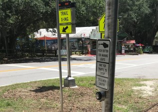
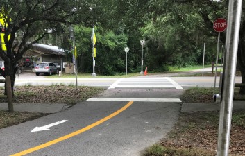
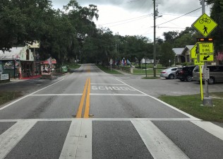
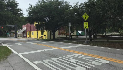
  • Upgrades to signing and pavement markings for the crossing at CR 48, including two Rectangular Rapid Flashing Beacons. No pavement rehab in this area.
View Factsheet
Contact Information
Media Contact
John McShaffrey
813-975-6930
john.mcshaffrey@dot.state.fl.us
Closures
  • There are no closures at this time.
Project Images
To alert drivers they will be crossing CR 48, trail users push a button to activate rapid flashing beacons  (June 2021 photo)
Signing and pavement markings make crossing CR 48 safer (June 2021 photo)
Safety enhancements at the CR 48 trail crossing included rapid flashing beacons to alert drivers that people are crossing the road (June 2021 photo)
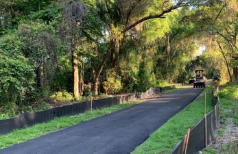
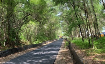
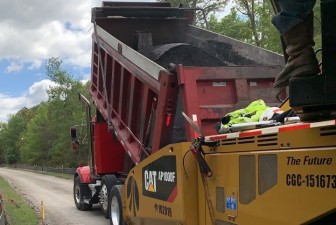
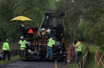
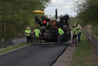
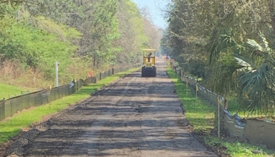
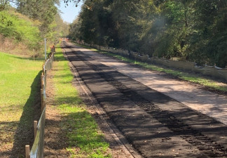
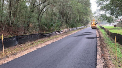
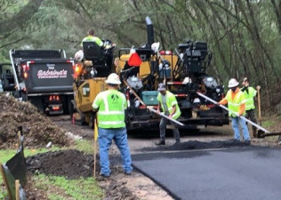
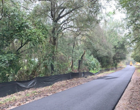
Paving in Segment 1 (4/28/2021 photo)
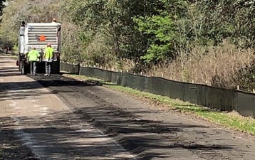
Paving a portion of Segment 2.5 (4/28/2021 photo)
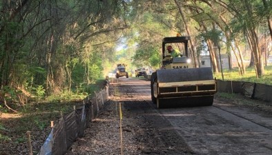
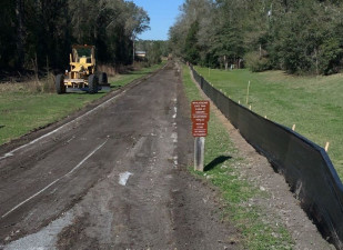
Compacting the base for the trail in Segment 2.5 (photo 4/8/2021)
Milled section of Segment 1 trail to be reconstructed (photo 4/8/2021)
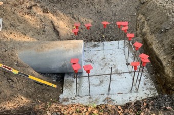
Drainage pipe and construction of cast-in-place drainage structure in Segment 1 (photo 4/6/2021)
Paving on Segment 4 of the trail in Citrus Springs (3/23/2021 photo)
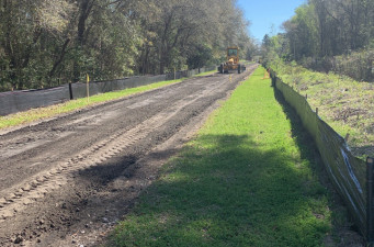
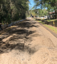
Earthwork along Segment 4 of the trail in Citrus Springs (3/5/2021 photo)
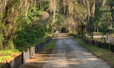
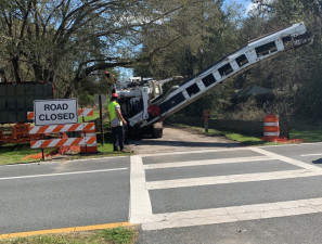
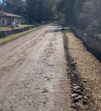
Crews are preparing to remove existing asphalt from Segment 4 of the trail (2/25/2021 photo)
Crews are removing existing asphalt from Segment 4 of the trail (2/25/2021 photo)
Clearing operations are underway for Segment 4 reconstruction (2/24/2021 photo)
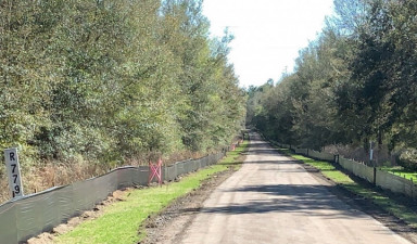
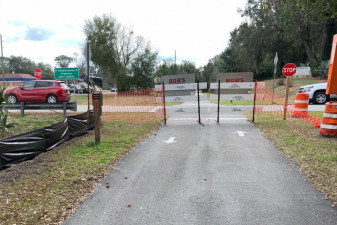
Looking south towards Citrus Springs Blvd. where a portion of Segment 4 has just been closed for construction (2/23/2021 photo)
Looking south at a portion of Segment 4 midway between Haitian Drive and Citrus Springs Blvd. that has just been closed for construction (photo 2/23/2021)
Paving in segments 2 & 3 (photo 2/15/2021)
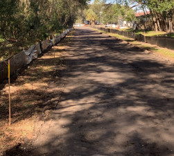
Base reconstruction of the trail (photo 2/4/2021)
Base reconstruction of the trail (photo 2/2/2021)
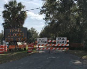
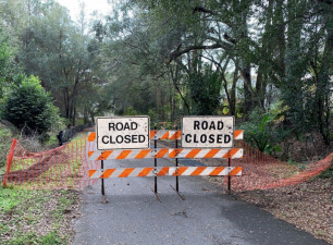
Looking south at the section of trail closed on the south side of E. Norvell Bryant Highway (1/27/2021 photo)
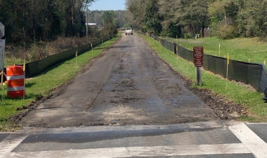
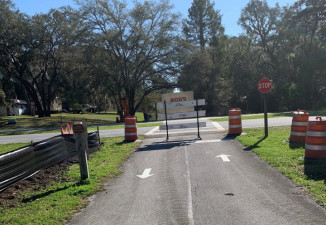
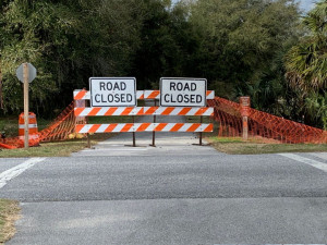
Looking north across David Street at the south end of Segment 2 that closed on January 25 (1/25/2021 photo)
Looking south at the south end of Segment 2 at David Street that closed on January 25 (1/25/2021 photo)
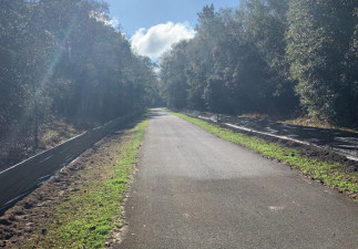
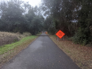
Looking south approaching the north end of Segment 2 that closed on January 25 (1/25/2021 photo)
Looking south at the north end of Segment 2 that closed on January 25 (1/25/2021 photo)